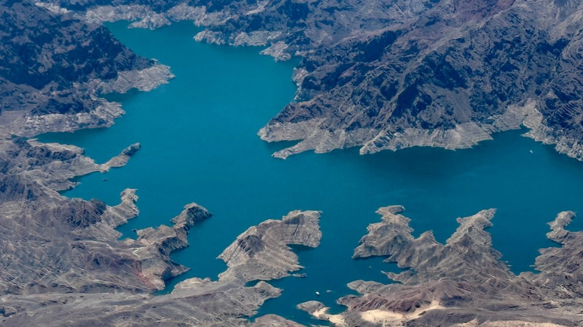
Federal projections suggest Lake Mead’s water levels are declining rapidly. The U.S. Bureau of Reclamation (USBR) released a study forecasting that Lake Mead could drop to 1,015.77 feet above sea level by July 2027. This marks a sharper decline than projected in previous reports, predicting a level of 1,020.76 feet by July next year.
The Colorado River network supports water distribution to about 40 million residents in the Western U.S. and sustains over 5 million acres of agriculture. Persistent drought conditions are exacerbating concerns about water and electricity at key reservoirs. A USBR spokesperson stressed the need for new guidelines and updated procedures in response to the latest data.
As of Tuesday, Lake Mead was at 29% capacity, containing 7,454,257 acre-feet of water. This level is 47% of the average for that date, according to USBR data.
What the Projections Indicate
The USBR’s 24-month study outlines expected hydrological conditions and operations for the Colorado River system’s reservoirs over the next two years. New projections suggest Lake Mead could fall to 1,011.74 feet by May 2028. The USBR emphasizes that these are projections subject to change with evolving hydrology and conditions.
Concerns about power generation continue as unfavorable projections for the Colorado River system persist. A statement from USBR on social media warned that Lake Powell, the nation’s second-largest reservoir, might fall to levels risking hydropower viability. The study relies on soon-expiring operational guidelines, projecting Lake Powell will reach minimum power pool by spring 2027. This serves as a reminder of the Colorado River’s vulnerability and the necessity for updated operational tools for stability.
Scientists caution that the Colorado River system may face a ‘system crash’ due to the imbalance between water supply and demand.
Which States Rely on the River?
States relying on the river include Colorado, New Mexico, Utah, and Wyoming in the Upper Basin, and Arizona, California, and Nevada in the Lower Basin. These states are negotiating new water-sharing agreements as current guidelines are set to expire this year, but a unified agreement has not been reached.
Satellite images have shown Lake Mead’s water levels declining over 25 years. In 2024, imagery revealed the reservoir significantly smaller compared to 1999. This difference was documented by Landsat 7, a collaboration between the United States Geological Survey and NASA.
 Debate on Climate Change’s Impact on El Niño Intensifies
 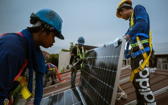 Southeast Asia Turns to Solar Energy Amid Energy Crisis
  Trump Administration’s Offshore Wind Leasing Strategy
  African and Commonwealth Nations Push for High Seas Treaty Implementation
 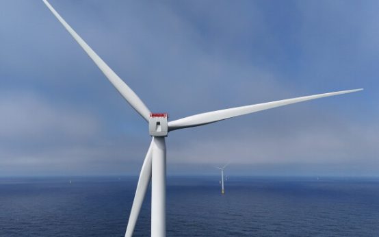 Tropical Storm Arthur Forms and Threatens Gulf Coast with Heavy Rain
  Seismic Stress Reaches Millennium Highs on San Andreas and San Jacinto Faults